Built for the mission you're on

Whether you're watching the planet, flying satellites or protecting a nation, we help you get answers from orbit while they still matter. Pick the one that sounds most like you.

01 — Earth & Climate Intelligence

Faster answers about a changing planet

For governments, carbon and insurance teams who need to measure forests, coasts and terrain in 3D, and know what changed while it still matters.

  • Forests, carbon and canopy structure
  • Coasts, flooding and erosion
  • Infrastructure, terrain and risk
ProductsSapphireTealGIS
02 — Satellite Operators

Get more from every pass

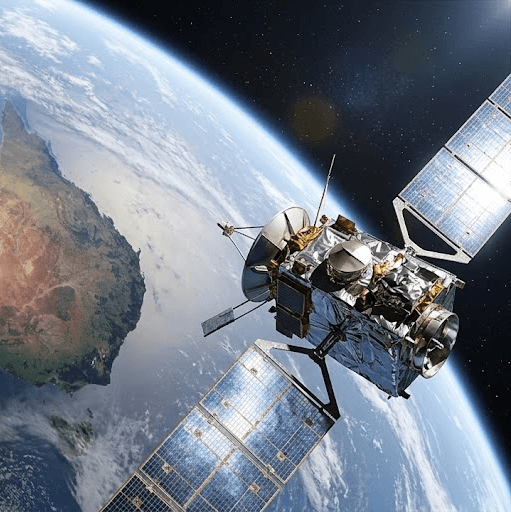
For teams flying their own Earth observation missions who want to process data on board, so every pass sends back what matters instead of a backlog of raw files.

  • Processing in orbit
  • Less data to downlink
  • Run your own models on board
ProductsSpace EdgeSapphire
03 — Defence & National Security

Know sooner. Act sooner.

For defence and government programmes that need timely awareness from space, with data processed in orbit and delivered when decisions are being made.

  • Faster time from capture to insight
  • Payload integration and research partnerships
  • Teams in Australia and the UK
ProductsSpace Edge